ArcGIS GeoData Analysis
Geospatial analysis resolves many fundamental business issues based on geographical space and time and relational information between data.
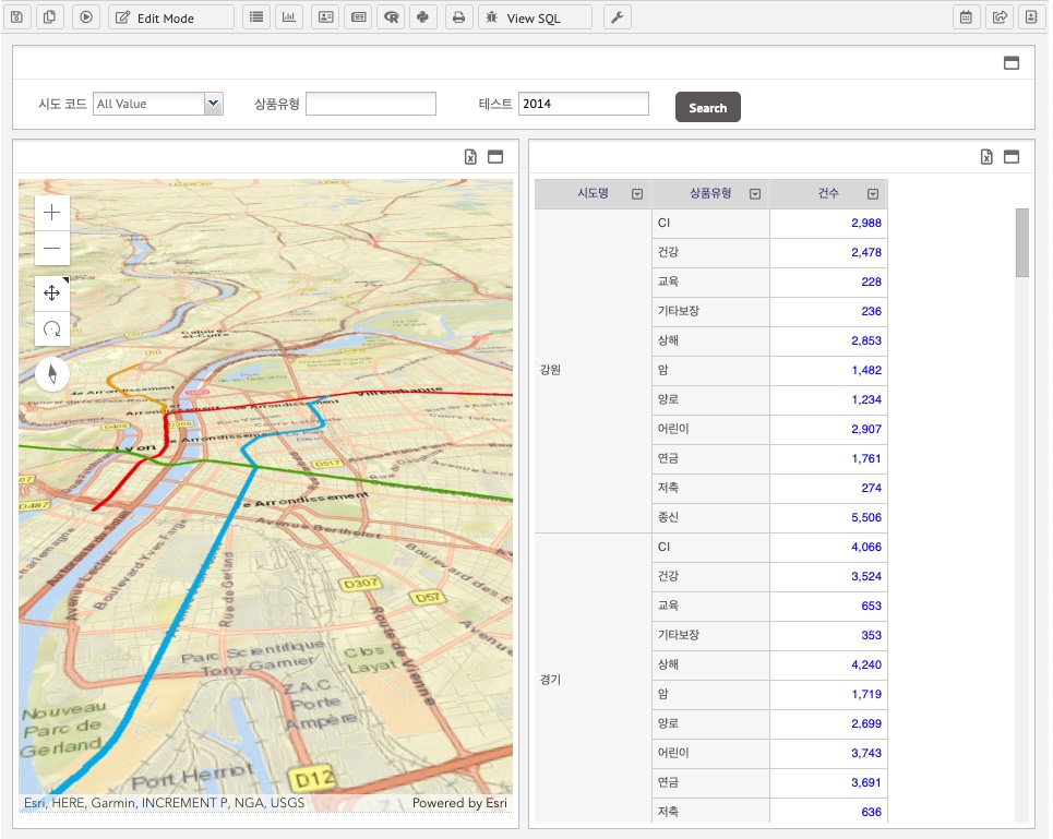
We make this geospatial analysis easy for business users and powerful to developers as well without programming efforts. Registering ArcGIS layers and mapping with data analysis is provided with simple wizard settings and configuration guides. Below shows key concepts and screens to make it possible for your successful project.
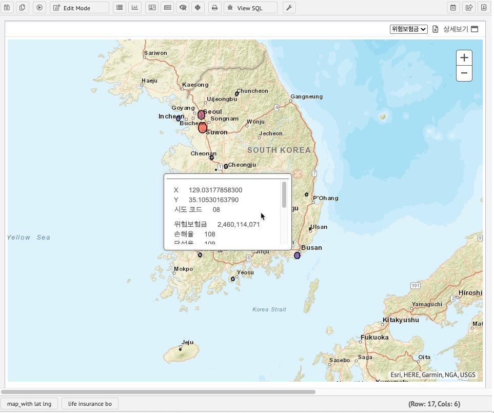
Geographical location data is mapped on markers which configurable from circle, triangle, rectangular and cross.
We support ArcGIS version 3.17 to 4 version. Prepare your data visualization and geospatial readiness works without worry on ArcGIS versions and upgrades.
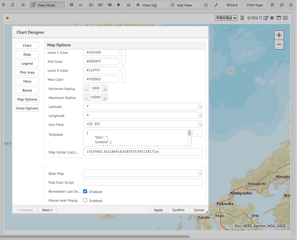
Geospatial configuration wizard
Popup widets to dynamically filtering data and wizard are easy and powerful for your business users.
Further Steps
We also provides vector graphical GeoData mapping and other map controls, and services consulting for your business data to visualization. Please contact us for more information and please feel free to ask demo.
Enjoy!